Powhatan State Park
PW
4616 Powhatan State Park Rd., Powhatan, VA 23139

nUpMQ8D
OWNER: Virginia Department of Conservation and Recreation
CONTACT: (804) 598-7148
WEBSITE: http://www.dcr.virginia.gov/state-parks/powhatan#general_information
EVENTS: Events/Classes at this Park
GENERAL INFO:
Park Type: State Park
Overall Size: Larger than a football field
Special Features/Comments: You'll find Powhatan State Park in the northwest corner of Powhatan County on the historic James River. The park has three car-top boat slides accessing the river as well as diverse wildlife habitat, from open fields to upland hardwood forests. Other amenities include a full-service campground, a primitive canoe-in campground, a group campground, multi-use trails, wildlife observation areas, picnic shelters and a playground.
GETTING THERE:
Parking
pDriving Directions: From Interstate 95 north of Richmond: Take Interstate 64 west to Route 288 south to Route 711 west (Huguenot Trail). Stay on 711 for about 13 miles until reaching Rt. 522 (Maidens Rd.). Turn right and drive about 4 miles to Route 617 west (Old River Trail). Turn left and go about 1.5 miles to the park entrance on the right.
From 64 west of Richmond: From I-64 take exit 159 to Gum Springs-Goochland and follow Route 522-S to the where it joins Route 6. Turn left at the stoplight onto Route 522-S and Route 6-E, then turn right onto Maidens Road (Route 522-S) and go about 1.9 miles. Next, turn right onto Route 617 (Old River Trail) and go about 1.5 miles. The park entrance is on the right.
From 64 east of Richmond: Take Interstate 64 west through Richmond to Route 288 south and exit onto Route 711 west (Huguenot Trail). Stay on 711 for about 13 miles until reaching Rt. 522 (Maidens Rd.). Turn right and drive about 4 miles to Route 617 west (Old River Trail). Turn left and go about 1.5 miles to the park entrance on the right.
From Interstate 95 south of Richmond: Take Interstate Route 288 north to Route 60 west. At Route 522 north, turn (Maidens Road) and go about 7 miles to Route 617 west (Old River Trail). Turn left on Old River Trail and drive about 1.5 miles to the park entrance on the right.
ACTIVITIES/RECREATION OPPORTUNITIES:
Trails, Birdwatching, Fishing
AMENITIES:
General Park Amenities: Playground, Restrooms, Picnic Tables, Grills
Playground Surface Type: Mulch
Pets: Allowed On-Leash
Additional Features: Gift Shop
Trash Cans: Yes
Camping: Tent, RV, Groups, Primitive
Camping Amenities: Running Water, Fires Allowed, Fire Rings, Firewood Available, RV Hookups
TRAILS:
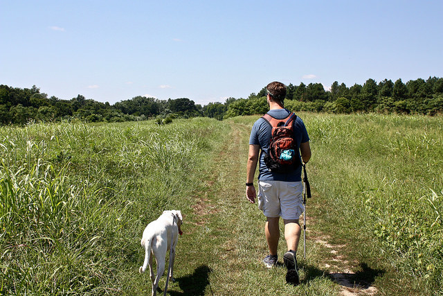
Trail Description: The park has about 12 miles of multi-use trails through various habitats including field edge, upland pine forest and mature hardwoods. The trails provide excellent opportunities for viewing wildlife.
Trail Activities: Walking, Hiking, Running/Jogging, Bicycling, Mountain Biking, Horseback Riding, Dog Walking, Birdwatching
Trail Difficulty: Easy, Moderate
Trail Layout: Loop & Linear (network)
Trail Length: Over 10 miles
Trail Shade: Some
Trail Width: 4-8 ft
OTHER:
Programming Available: Education/Ranger Programs, Junior Ranger Programs
Park Information: Maps, Brochures
Staffing & Safety: Employee/Ranger Present, Ranger Patrol
Open Space Activities: Go for a walk or jog, Have a picnic
Open Space Size: Larger than one football field in size
Natural Water Feature: River/Channel
