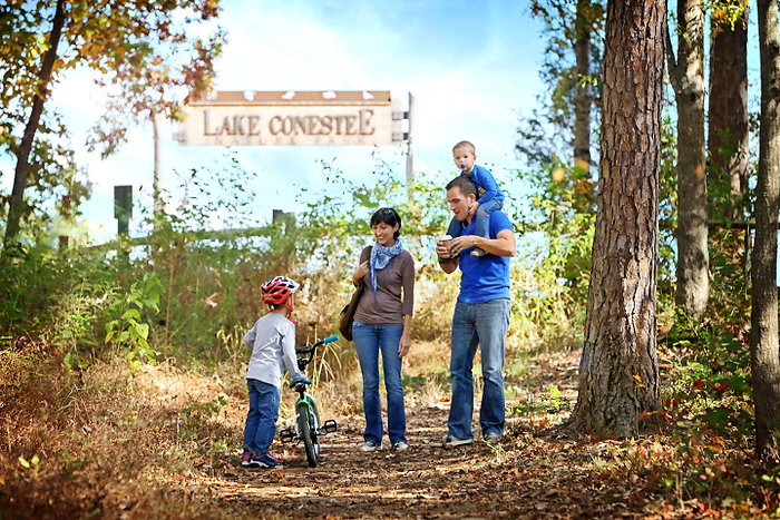
Lake Conestee Nature Park
601 Fork Shoals Road, Greenville, SC 29605
nBM8D

OWNER: Greenville County Parks, Recreation, & Tourism
CONTACT: 864-288-6470
WEBSITE: https://greenvillerec.com/
EVENTS: Events/Classes at this Park
Hours: Dawn to Dusk
MANAGED BY: Conestee Foundation Inc Private
PARK SIZE: >0.01 Acres
HAS TRAILS: yes
TREE CANOPY: 64%
GENERAL INFO:
Park Type: Conservation Area, Historic Site, Regional Park
Overall Size: Larger than a football field
Special Features/Comments: There are several access points to this 400 acre park. Churchill and Henderson trailheads only open on weekends. Fork Shoals trailhead locks at dusk. Mauldin Road (Conestee Park trailhead) is the most accessible and has more amenities like trashcans and restrooms.
GETTING THERE:
Parking, Bike Racks
ACTIVITIES/RECREATION OPPORTUNITIES:
Open Space, Trails, Birdwatching
AMENITIES:
Pets: Allowed On-Leash
Additional Features: Historic Site, Picnic Shelter
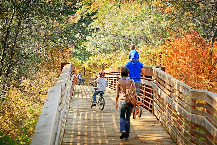
TRAIL DESCRIPTION:
Trail Surface: Paved & Unpaved
Trail Activities: Walking, Hiking, Running/Jogging, Mountain Biking, Single Track, Dog Walking
Trail Difficulty: Easy, Moderate
Trail Layout: Loop & Linear (network)
Trail Length: Over 10 miles
Trail Shade: Lots
Trail Surface Type: Asphalt, Concrete, Gravel, Natural rock, Sand/Dirt, Boardwalk
Trail Slope: Flat/Gentle, Moderate
Trail Width: 2-4 ft, 8-12 ft
Trail Extras: Kiosk with trail maps, Benches/Rest Areas, Panoramic Views
OTHER:
Programming Available: Education/Ranger Programs
Park Information: Maps, Information Kiosk
Open Space Activities: Go for a walk or jog, Have a picnic, Do Yoga
Natural Water Feature: Pond/Lake, Creek/Stream, River/Channel, Wetlands
